Route Description - Dirty 30 (Alternative for 2025)
Note: we reserve the right to alter the route on the day.
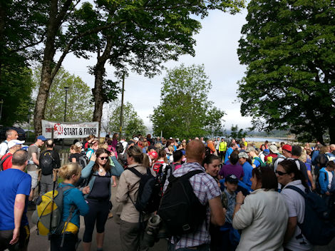
Start
- NG 814 194 - Glenelg Village Hall
Start at Glenelg Hall follow the road out of the village, turning left at the junction through Galtair towards the ferry. Just before the road descends to the ferry, turn right into the carpark and onto the track which leads along the Kylerhea Narrows.
As you descend to the shore, continue along the beach until you reach a break in the wall where a path leads inshore. Follow the path down to the shore to Ardintoul and follow the road round and up the hill. Don't take the old route down to your left, and instead carry on up the hill, following the road back towards Glenelg.
As you reach the beach, turn left, heading towards Glenelg.
Checkpoint 1
- NG 820 198 - Glenelg Junction ~11.6 miles / 18 km
At the junction, the route splits, and the Dirty Dozen will return to the village, but the Dirty 30 should follow the road round to the left and continue on the road out of the village.
Continue on this road until you reach the turn signposted for Moyle. You should follow this road down towards Moyle. As you enter the forrestry, continue straight on.
Checkpoint 2
- NG 889 181 - Moyle ~16.5 miles / 25.9 km
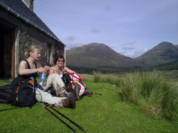
From Moyle, follow the forrestry track before crossing at the bridge (NG 889 173) and follow the track for approx 300m, then turning right and follow track on opposite side of burn from the bothy at Suardalan where you should pick up the path past Loch Iain Mhic Aonghais and continue along the track to Balvraid & Checkpoint 5
Checkpoint 3
- NG 848 165 - Balvraid ~20.8 miles / 32.9 km
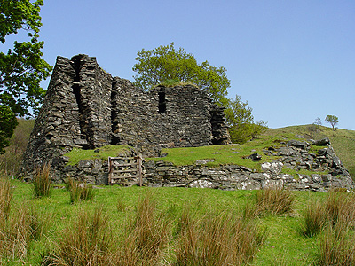
The route continues along the road passing the Brochs Dun Telve and Dun Troddan before turning right at the Eilanreach junction and following the road along the coast back to Glenelg and the finish.
Route Description - Dirty Dozen
Start
- NG 814 194 - Glenelg Village Hall ~ 25 miles / 40 km
Start at Glenelg Hall and and head across the grazings. After the 2nd footbridge, turn left onto the road through Galtair towards the ferry.
At the beach, take the road to your right, signposted Ardintoul (non-costal route) and proceed up the hill. As you proceed down the other side, there is a new fork in the road - take the old road to the left before finally descending to Ardintoul and follow the road round down to the shore before turning left passing the ruins of Ardintoul House heading away from the shore.
As the track splits, take the right hand track towards the shore, before turning left, proceeding along the shore past the fish farm until the path ascends steeply. Follow this path and continue on towards the Skye Ferry. You will eventually join the main road at the Ferry Shore Station and you should proceed up the hill back towards Glenelg and the Village Hall, returning via the grazings and bridge that you crossed earlier.